Garden Weather
 |
The Goose Lake Weather station is located in USDA plant hardiness zone 5a. The predominant soil types are 69AMilford silty clay loam, and
Bryce, shale substratum-Calamine silty clays. Interested in determining the soil types in your backyard? Check out the USDA/NRCS Web Soil Survey page. |
Grundy County CoCoRaHS Precipitation Map
Illinois CoCoRaHS Map
Illinois CoCoRaHS Google Map
New! 2/25/19 Interactive CoCoRaHS map for Grundy county.
Astronomical Information
| Sunrise | Sunset | Available Daylight Hours |
| 5:36 am | 8:02 pm | 14:26 |
Soil Information
Soil data last updated:5/13/2025 03:15 AM| Soil Temperature1 | Soil Moisture2 | Frost Depth3 | Minimum Air Temp |
| 4 inch:
66°F Max:67°F Min:66°F |
4 inch: 255.0 | inches | 61.4°F at: 12:57 AM |
| 12 inch: 63°F | 12 inch: 200.0 | ||
| 24 inch: 59°F | 24 inch: 200.0 | ||
| 36 inch: 56°F | 36 inch: 255.0 |
1Daily maximum and minimum 4 inch soil temperatures since midnight.
2Soil moisture is measured in centibars(cb).
Note: When the soil moisture sensor is frozen,
it will read approximately 200 cb.
3Read manually from a frost tube.
4The grass Minimum Temperature is the lowest temperature recorded since midnight in open air on short turf, with the thermometer just in contact with the tips of the blades of grass. It is also described as the temperature at 5cm (2in) above ground.
| Centibar Reading | Soil Condition |
| 0-10 | Saturated Soil (field capacity). |
| 10-20 | Soil is adequately wet (except coarse sands which are drying out at this range) |
| 30-60 | Usual range to irrigate or water (except heavy clay soils). Irrigate at the upper end of this range in cool humid climates and with higher water-holding capacity soils. |
| 60-100 | Usual range for irrigation in heavy clay soils |
| 100-200 | Soil is becoming dangerously dry for maximum production. |
 |
 |
| 4 Inch Soil Temperature | 4 Inch Soil Moisture |
Soil Temperature Extremes for Current Month and Year
data last updated:5/13/2025 03:15 AM| Sensor Depth | Month | Year |
| 4 inch |
Max: 69.0°F on 5-12-2025 Min: 56.0°F on 5-5-2025 |
Max: 69.0°F on 5-12-2025 Min: 24.1°F on 1-21-2025 |
| 12 inch |
Max: 63.0°F on 5-12-2025 Min: 57.0°F on 5-5-2025 |
Max: 63.0°F on 5-12-2025 Min: 30.9°F on 1-24-2025 |
| 24 inch |
Max: 59.0°F on 5-12-2025 Min: 56.0°F on 5-1-2025 |
Max: 59.0°F on 5-12-2025 Min: 34.0°F on 1-25-2025 |
| 36 inch |
Max: 56.0°F on 5-10-2025 Min: 54.0°F on 5-1-2025 |
Max: 56.0°F on 5-10-2025 Min: 37.0°F on 2-25-2025 |
Rain/Evapotransporation/Leaf Wetness
| Rainfall | Evapotransporation | Leaf Wetness* | |||
| Today: 0.00 in | Today: 0.00 in | Current reading: 6 | |||
| Month: 0.62 in | Month: 1.89 in | ||||
Above rainfall data from automated gauge, not accurate for snowmelt water equivalent
*Leaf wetness ranges from 0 dry to 15 wet
 |
 |
| Daily Evapotranspiration | Leaf Wetness |
Precipitation Past 12 Months

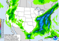
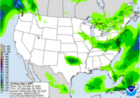
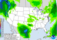
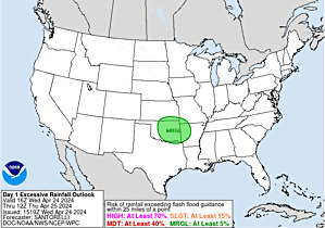
Forecast Rainfall
forecast rainfall data provided by NOAA |
 |
 |
 |


